Geospatial Data Scraping Services
Geospatial data can help organizations make more informed decisions in location-centric industries such as logistics, urban planning, real estate, and retail. 3i Data Scraping offers customized Geospatial Data Scraping Services that fetch location data from maps, public directories, property listing platforms, review platforms, transport related applications and satellite images. We collect and extract structured reliable and accurate geolocation intelligence for your actionable business choices and operational efficiencies.
Geospatial Data Extraction
Geospatial data scraping is the automated extraction of location-based data, including coordinates, addresses, postal codes, and points of interest from online maps, real estate sites, navigation applications, and public records. This location intelligence is crucial for businesses such as logistics, retail, and real estate because it impacts the optimization of delivery routes, the analysis of property prices, and the recording of foot traffic. Urban planners and environmental science professionals use geospatial data for decisions regarding infrastructure, land use, and risk assessments. At 3i Data Scraping, we provide scalable, real-time, customized geospatial data for your company or industry. Whether you need GPS-tracked data, region-specific insights, or structured data for properties, our team will provide you with location-based data ready to use with high quality, precision, and consistency.
Why Does Geospatial Data Scraping Matter?
Access to timely and accurate geospatial data is more than a luxury; it is also a competitive tool. Collecting manually location-based data is long and involves human error, and you will ultimately have outdated results. However, using geospatial data scraping services can assist your business in the following ways:
- Make better place-based decisions.
- See where areas are unserved or overserved.
- Do superior analytics to enhance routes and delivery.
- Develop better context maps that combine real estate developments with population and civil infrastructure data.
- Enhance demographic personalization of marketing through location intelligence.
At 3i Data Scraping, we care about location intelligence to provide superior service to our customers. We develop customized scalable web scrapers for companies to scrape geospatial data in real time from global and national sources.
Our Geospatial Data Scraping Service Includes:
3i Data Scraping provides businesses with a comprehensive solution for geospatial scraping customized to your specific use case. We handle the complete technical and strategic aspects, from the collection of location data to delivering live or dynamic data that can seamlessly integrate with GIS or your internal dashboards.
- Custom Scrapers for Mapping & Location Based Platforms.
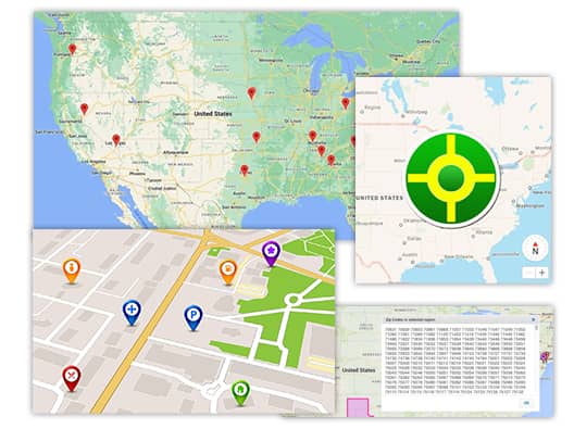
- POI (Point of Interest), GPS Coordinates, ZIP Codes Extraction.
- Location Data, Aggregated, and Heatmap Ready.
- Live or Scheduled Data Feeds.
- Address Normalization & Geocoding/Reverse Geo-coding.
- Custom APIs with GIS Integration.
- High Volume or Frequency Route or Traffic Data Scraping.
- Captcha and Rotating Proxy for Worldwide Data scraping.
Real-Time Geospatial Scraping APIs and Custom Scrapers
3i Data Scraping provides Real-Time Geospatial Scraping APIs and custom scrapers from scratch for organizations looking for immediate and continuous geolocation data and insights. Our services enable enterprises to automate real-time data flow into internal systems, dashboards, or GIS applications.
Our real-time APIs are built with RESTful architecture and support secure token-based access, ensuring smooth and protected data transmission. We provide clean and structured outputs in JSON, XML, or CSV file formats and enable users to filter and query live data to radius, POI types, lat-long pairs, and even address-level keywords. Whether tracking traffic conditions, environmental changes, or proximity metrics to retailers, our custom scrapers deliver unmatched flexibility and accuracy for data that’s produced in real-time. With 3i Data Scraping’s real-time solutions your organization can maintain agility, responsiveness, and knowledge through trusted geospatial data feeds that are constantly updated.

Popular Geospatial Data Sources We Scrape
We scrape location-related data from a variety of sources:
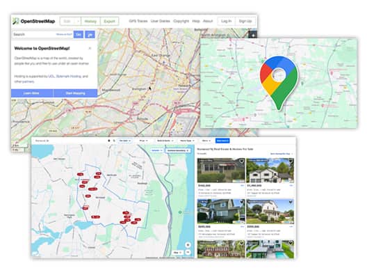
- Google Maps
- OpenStreetMap (OSM)
- Real estate sites (Zillow, Realtor, etc.)
- Yelp (geo-tagged reviews)
- GPS tracking apps
- Foursquare
- Tripadvisor
- The public municipality or zoning databases
- Navigation apps (Waze, Map Quest, etc.).
- Social media sites with geo-tagged content.
The Data Fields We Collect
We gather a broad array of geospatial data attributes, including but not limited to:
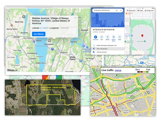
- GPS coordinates (Latitude/Longitude)
- Address Components (Street, ZIP, City, State, Country)
- Points of Interest (POIs)
- Business/Facility Type
- Property Locations & Boundaries
- Map link URLs
- Public Transit Routes & Stops
- Nearby Landmarks or Services
- Elevation Data
- Real-Time Traffic Conditions
- Heatmap Data Inputs
- Reviews with Geo-Tags
Use Cases for Geospatial Data Scraping
Logistics & Supply Chain Optimization
Fleet and delivery companies collect web-accessible location data, whether it be location, traffic, or road condition data to ensure optimal routing, minimize delays, and reduce fuel costs. Web data enables fleets and delivery companies to make instantaneous, real-time decisions that utilize the best paths and delivery zones.
Urban Planning & Smart Cities
City planners, governments, and agencies utilize web scraping to assess building footprints, available transit infrastructure, population densities, construction projects, utilities, and development plans; ultimately improving efficiency in city design.
Retail Site Selection
Retailers employ web scraping to analyze demographic information, competitor locations, foot traffic patterns, and nearby points of interest. This helps them select optimal locations with high conversion rates and refine their marketing strategies by region.
Guide Environmental & Risk Analysis
Researchers and analysts use web scraping to extract location-based weather data, satellite imagery, and pollution indicators to conduct and assess environmental risk, flood zones, or land suitability.
Why us
Why Choose Us for Geospatial Data Scraping Needs
Customer-Centric Approach
The customer is a king, and that is why we focus on creating a great experience for our customers; by doing so, we build brand loyalty.
Highly Experienced Team
Our highly experienced team has a wealth of knowledge, a proven business success record, and can improve the overall performance of your business.
High Accuracy and Reliability
Every solution we provide to customers is accurate and reliable. Our solution can minimize errors and inconsistencies.

Geospatial Data Scraping - FAQs
What does Geospatial Data Scraping mean?
Geospatial data scraping involves collecting location-specific information such as coordinates, boundaries, and nearby landmarks from various websites, maps, and online directories for analysis or business purposes.
What fields benefit from geospatial data scraping?
The logistics, urban development, real estate, retail, agriculture, insurance, and environmental science industries are major users of geospatial scraping.
Is it legal to scrape location information?
Yes. We only scrape publicly available geospatial data and follow ethical data collection as per international data privacy standards.
Do you support bulk scraping, meaning many thousands of locations?
Yes. Our architecture is scalable, and can easily ingest millions of rows of location data in no time!
Do you allow bulk scraping for thousands of locations?
Absolutely. Our system is designed to scale effectively, allowing us to process millions of location data entries.
Which sources can 3i Data Scraping utilize to gather geospatial data?
Based on your needs, we can extract geographical data from various online platforms including OpenStreetMap, Google Maps, real estate websites, company directories, and other publicly available or semi-public resources.